Ghosts of the V & T: Remnants of the Silver Short Line
Click on a picture for a larger view
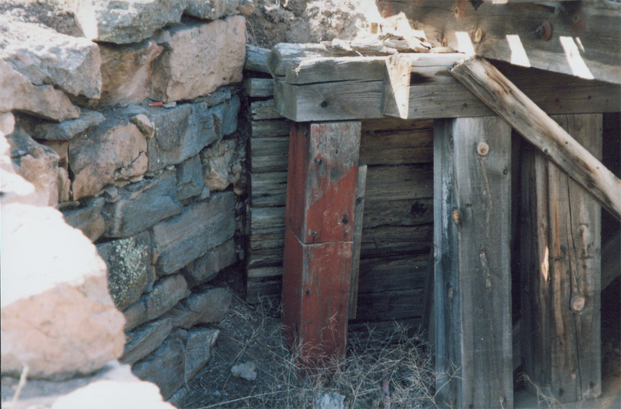
Washoe Canyon:
Note - all timber remains in the canyon were destroyed by fire Jan 19th/20th, 2012
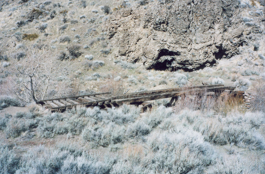
Bridge 17F, just north of where the line used to cross Hwy
395 at Washoe City. The remains of this bridge were visible from old
395.
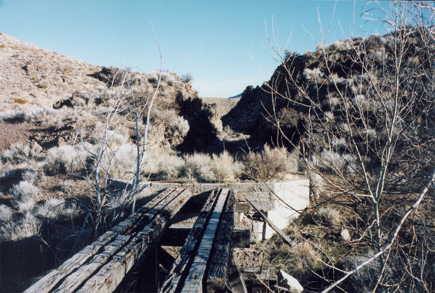
Photos taken winter, 2000.
Google Maps link
Closeup of the cut between bridges 17E and 17F; looking
north:
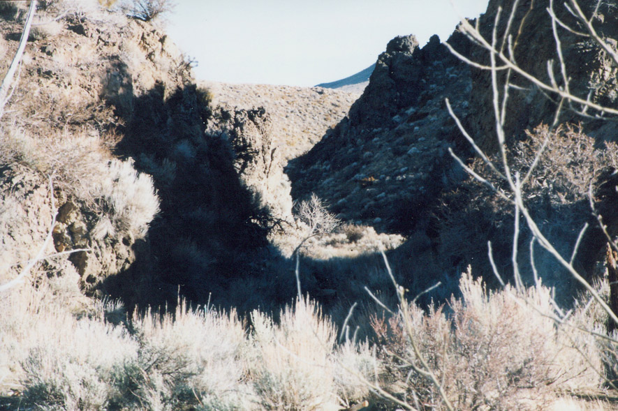
Lots of shadows; sorry this didn't turn out very good. This cut is
also visible from 395 - just look to the north at the bottom of Washoe Hill.
Wurm has a picture of the same area, although from a little further back
(you can see the top of bridge 17F *(above) in his picture (The Silver
Short Line, p. 7)
Google Maps link
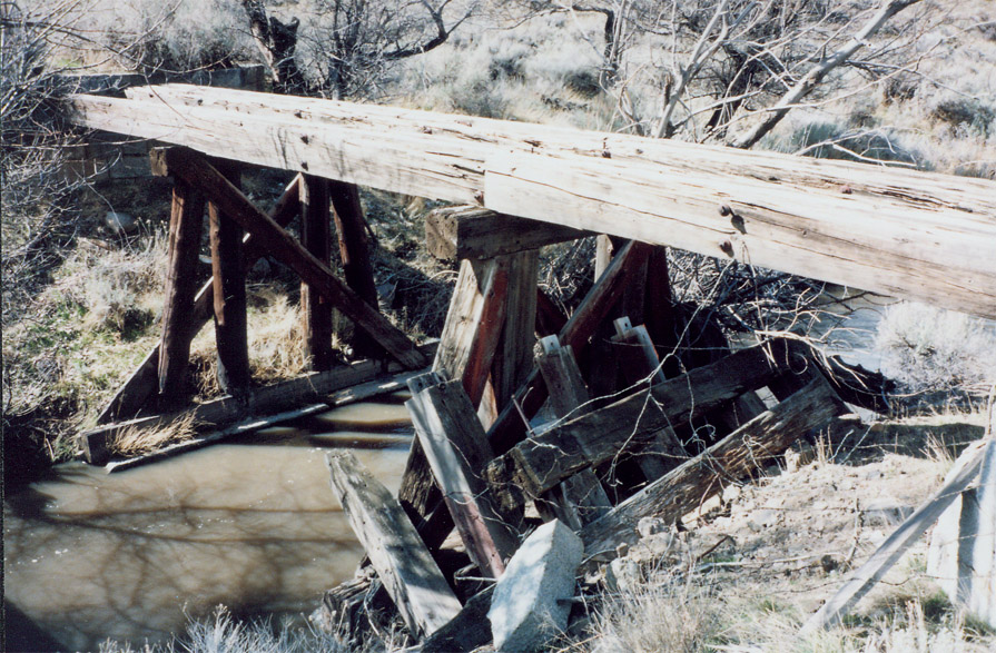
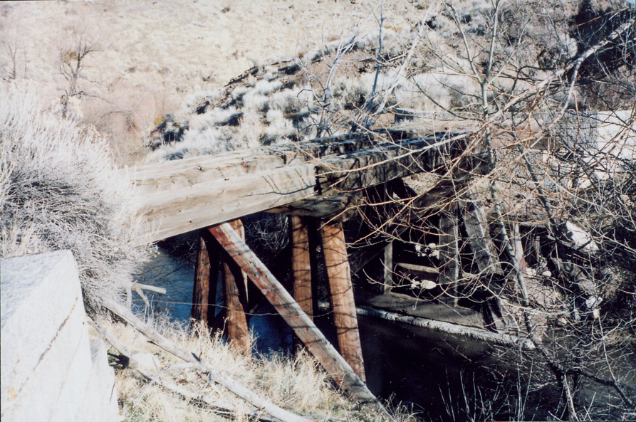
Bridge 17E, just to the north of the cut. This is
probably the most photographed of the bridges in Washoe Canyon; see The
Silver Short Line, p 203 for an example. The center bent is now
missing, but the bridge otherwise appeared to be in decent shape,
considering the last time a train crossed it was 50 years ago.
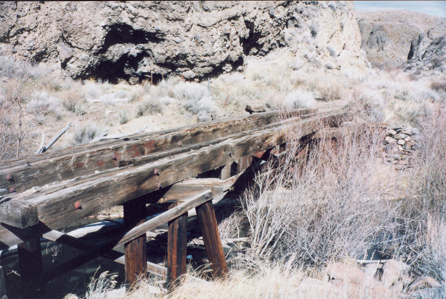
The first two pictures are looking in a northern / western direction across
the bridge, the third photo is a close-up of the southern abutment.
Note the different type of abutment from the bridge just to the south
(above). I didn't get a photo, but when the water level is low, you
can see the footing for the center bent in the middle of the stream.
Google Maps link
Bridge 17D, just to the north. Nothing remained except
for the abutments.
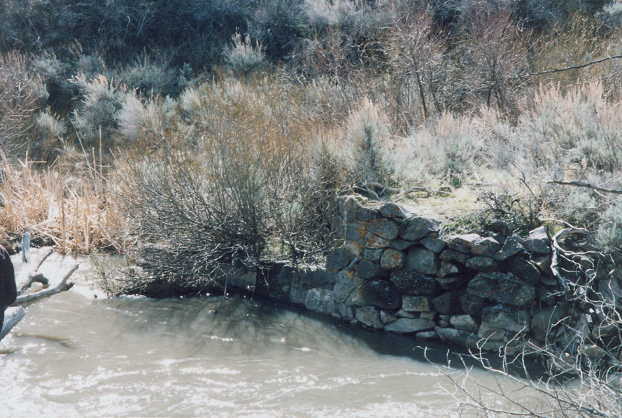
Looking north, winter, 2000. Intact bridge is shown in The Silver
Short Line, p. 5.
Google Maps link
Bridge 17C, still had a couple of timbers remaining, half in the water, and half still resting on the abutments, but it was so overgrown in brush, I didn't get any pictures.